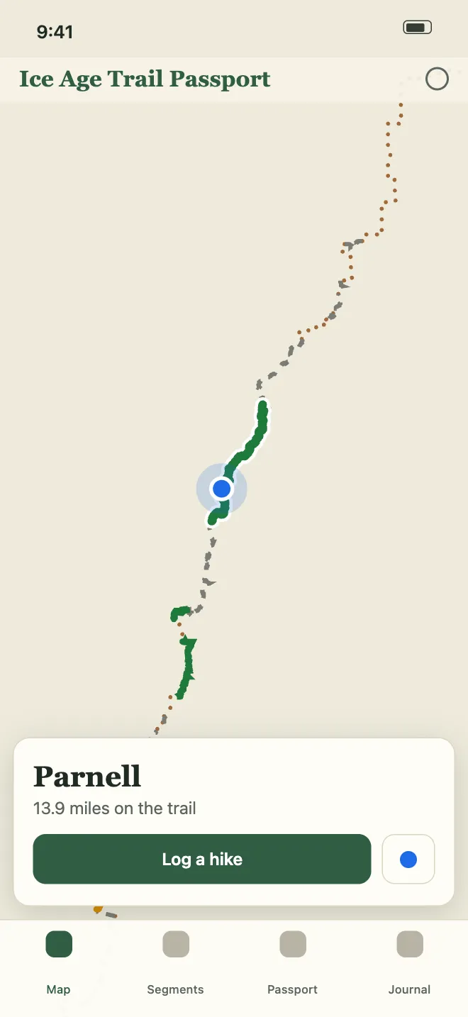
The whole trail on one map
Every segment and connecting route is on the map, and each one changes color as you finish it. A blue dot shows where you are.
 Ice Age Trail Passport
Log each segment you hike, collect a passport stamp for it, and watch the trail fill in on the map.
Coming to the App Store this November
7-day free trial, then $7.99 a year.
The Ice Age Trail is about 1,200 miles of footpath and connecting roads across Wisconsin, following the edge of the last glacier from St. Croix Falls to Sturgeon Bay.
The app tracks all 130 segments and the connecting routes that join them. Finish a segment and it turns green on the map and gets a stamp in your passport.
An example. Your own map fills in as you log hikes.
Every segment and connecting route is on the map, and each one changes color as you finish it. A blue dot shows where you are.
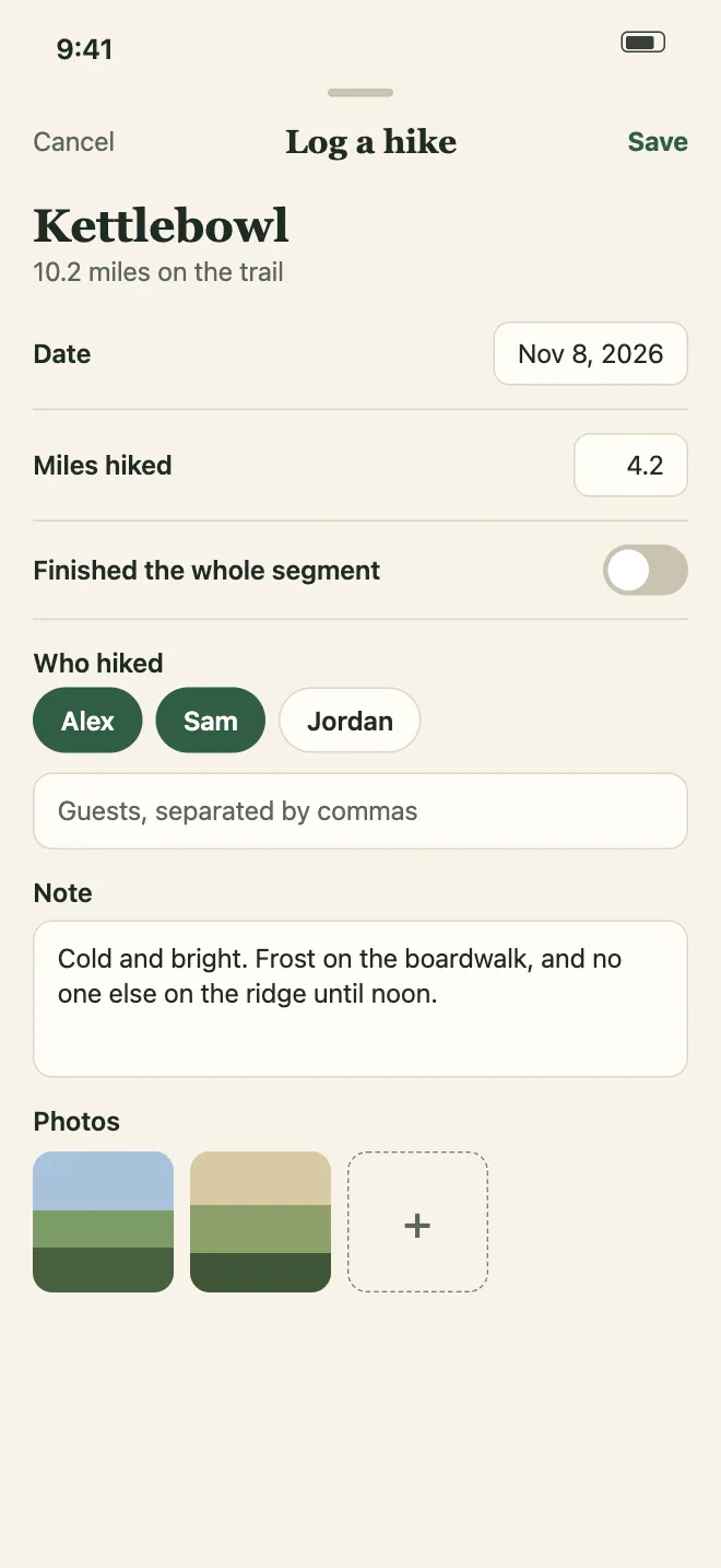
Pick the segment, then add the date, the miles, who hiked, a note and photos. A hike you log without a signal syncs when you're back online.
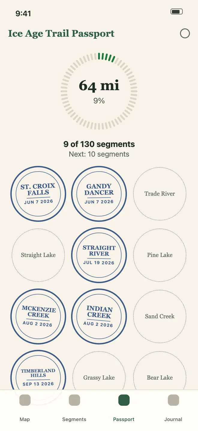
Every finished segment gets a stamp with the date you hiked it. Milestones mark your first segment, 100 miles and halfway.
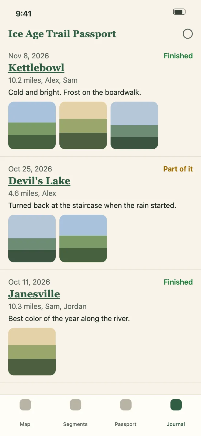
Every hike in one place, newest first, with its miles, notes and photos. Tap a segment to see it on the map.
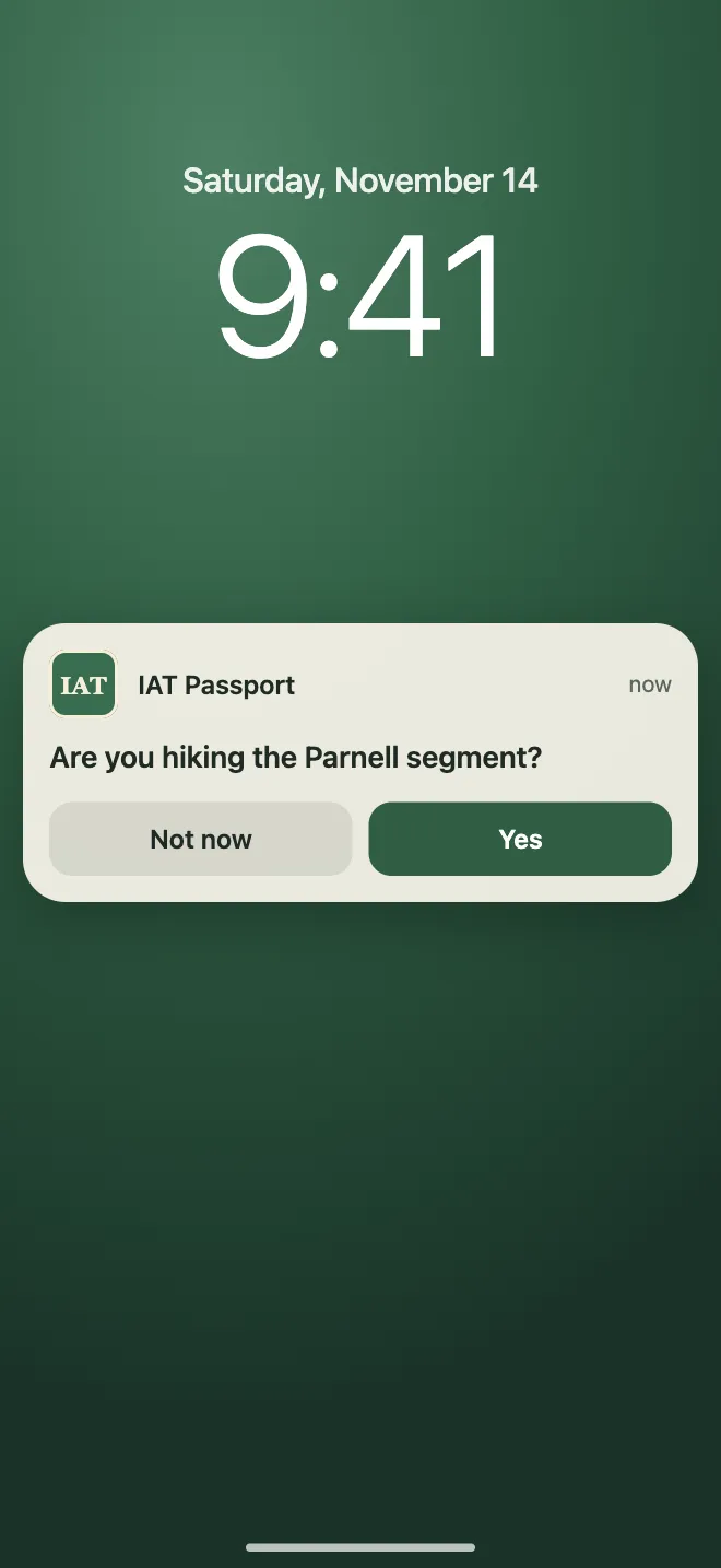
When you arrive at the start or end of a segment, the app asks if you're hiking it. Tap Yes and the hike is ready to log. Your location stays on your phone, and you can turn the reminders off.

Add the people you hike with and choose who is already selected on a new hike. A couple can share one account on two phones.
Get Ice Age Trail Passport from the App Store.
Tell the app how much of the trail you've hiked, who you hike with and what you're aiming for. You can skip any of them.
Start your free trial, create your account and log your first segment.
Then $7.99 a year, charged to your Apple account unless you cancel.
Cancel any time in your iPhone's Settings, at least 24 hours before the trial ends. Read the subscription terms.
Coming to the App Store this November
Mostly. The trail lines and your saved hikes show without a signal, and a hike you log offline syncs when you're back online. Some of the map's background detail waits until you have a connection.
For navigation, yes. Keep using a trail guide such as FarOut. Ice Age Trail Passport is the log and the passport. It shows the trail and where you are, but it doesn't give directions.
No. This app isn't affiliated with or endorsed by the Ice Age Trail Alliance or the National Park Service. The trail data comes from both of them. Check current trail conditions and closures before you hike.
Yes. Sign in with the same email and password on both phones and you both see the same hikes and photos. The subscription belongs to the account, so it covers both phones.
No. It uses your location on your phone to draw the blue dot and to notice when you reach a trailhead. Your location never leaves your phone and isn't stored.
Open Settings on your iPhone, tap your name, tap Subscriptions, and choose Ice Age Trail Passport. Cancel at least 24 hours before the trial or the year ends. The support page has the steps.